-
Solar and Agriculture
Lorem Ipsum
- Solar residential
- Solar commercial
- Solar farm
- Agriculture
-
-
-
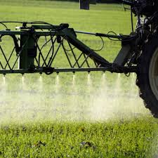
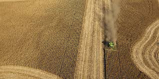
Agriculture
Stunning imagery to 3D mapping
Whether its maximizing crop performance, optimizing asset monitoring, and manage your crops more efficiently, we have the tools to do it utilizing datamapper technology.
-
2 or 3D Map processing
Create georeferenced 2D or 3D maps to save in various file formats.
-
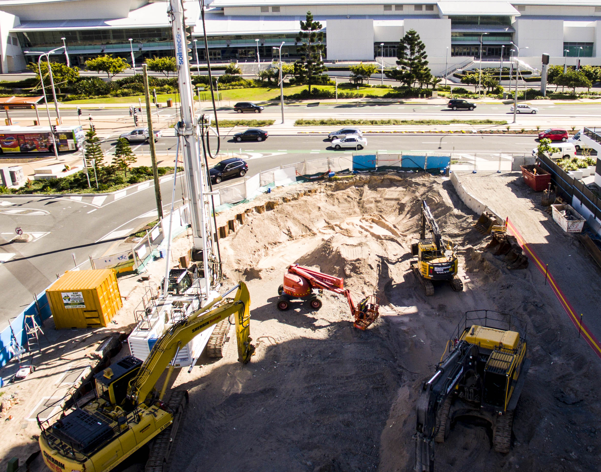
Volume Measurement
Estimate the volume of bulk material stored or excavated.
-
Multispectal
From Plant health measurement, Water quality assessment, Vegetation index calculation, to Plant counting
-
Thermal
Heat signature detection, Livestock detection, Water temperature detection, Water source identification, Emergency response.
-
-